 Image 1 of 3

 Image 2 of 3

 Image 3 of 3


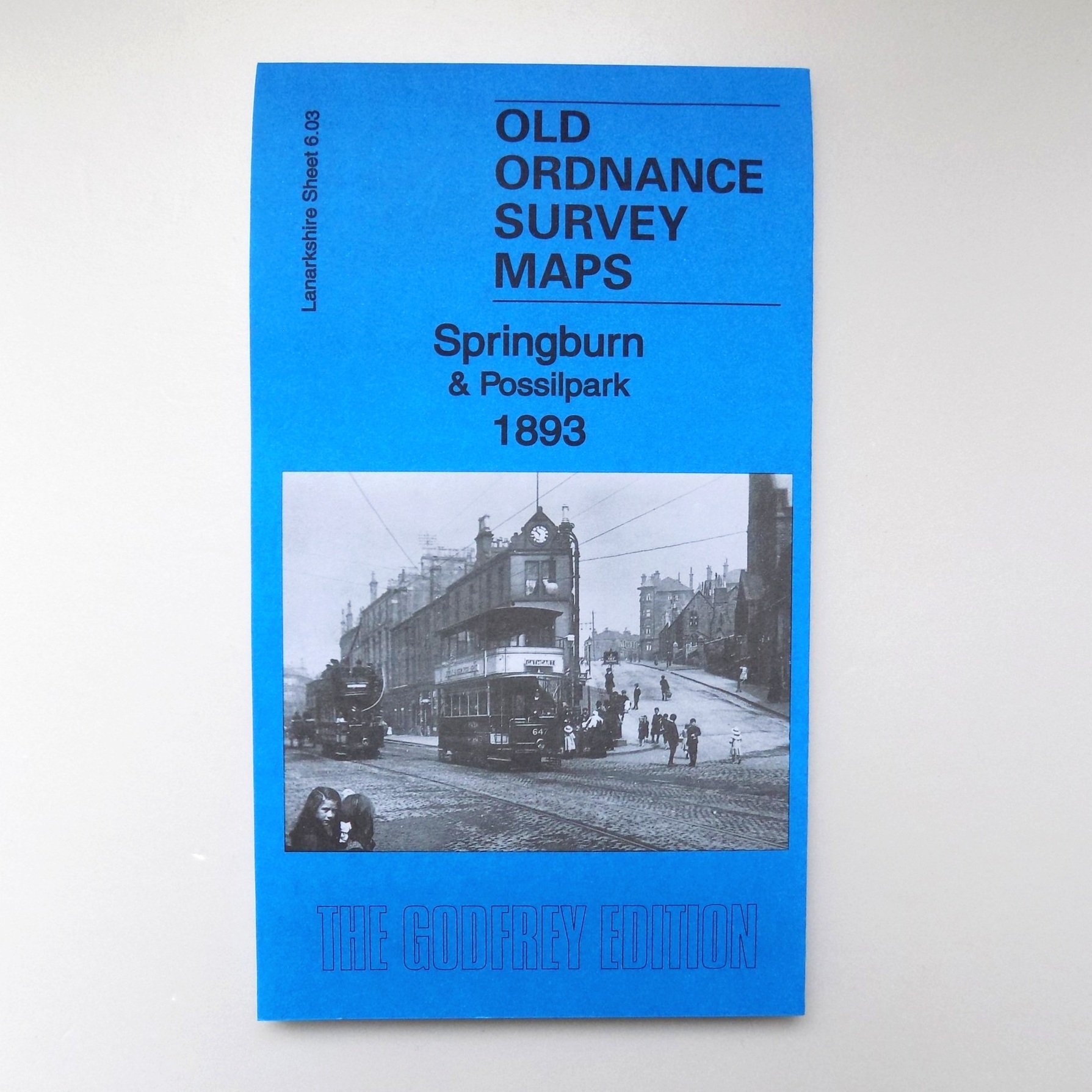
Old Ordnance Survey Map: Springburn & Possilpark 1893
Lanarkshire Sheet 6.03a Springburn & Possilpark 1893 - published 2011; intro by Dr Gilbert T. Bell.
The map is dominated by the North British Railway, which runs north-south through it. While the 1910 version includes Eastfield engine sheds, Cowlairs Works, the Cowlairs Junctions, Possil Junction, and part of the Sighthill Branch with Springburn station, the area is less built up on this 1893 version.
